
"Kamchatka and the Kuril Islands possess enormous geothermal potential," says Ivan Yu. Kulakov, RAS Corr. Member, professor at Skoltech and principal research scientist at IPGG SB RAS. In the searches for geothermal fields, specialists employed ambient seismic noise tomography, a powerful geophysical technique allowing them to extensively study the volcanic activity, as well as magmatic and hydrothermal system structure beneath volcanoes.
Owing to the deployment of temporary seismic networks, virtually all significant volcanic centers in Kamchatka and the northern Kuril Islands have been covered by a multi-year series of studies. About a third of the installed more than 220 seismic stations in these areas were deployed specifically for geothermal exploration.
Kuril Islands
The main point of interest for scientists is Paramushir Island, the northernmost island of the Kuril Arc and home to active Ebeko volcano, that is considered a potential source of geothermal energy. Severo-Kurilsk town is located just 7 km away. A temporary network of 21 seismic stations was deployed around the volcano with an aim to map deep heat sources.
Based on analysis of the data obtained, along the eastern flank of Ebeko a thin lowvelocity anomaly was revealed at a depth of ~1 km that can be interpreted as a water-saturated layer. Ivan explained that the contact of this layer with hot magma intrusions leads to the formation of a large amount of steam that is ejected during the frequent phreatic eruptions of Ebeko and from numerous fumaroles in the summit area. This region is expected to become a key growth area for geothermal energy exploitation in the Kuril Islands.
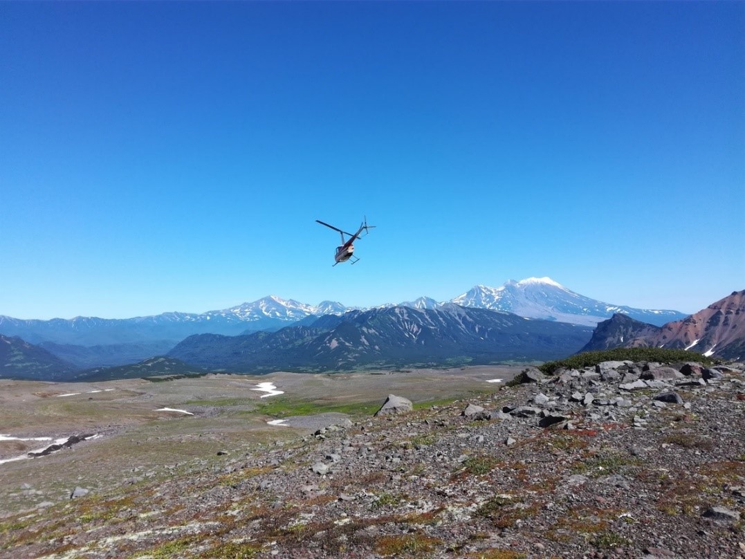
Scientists use helicopters to get to hard-to-reach slopes of Kamchatka and the Kuril Islands.
Kamchatka
Research is currently conducted at the Mutnovsky geothermal field where geothermal energy is exploited by two of the three power plants operating in Kamchatka (Pauzhetskaya GeoPP, Verkhne-Mutnovskaya GeoPP, Mutnovskaya GeoPP).
Electric power from Mutnovsky geothermal plants is supplied to the Central load center of the Kamchatka territory. The share of GeoPPs in the total power consumption of the load center is about 30%. As part of a strategy to increase this share in the region, a network of more than 50 stations has been deployed in the area of Mutnovsky, Gorely, and Vilyuchinsky volcanoes. The research results revealed a low-velocity anomaly that seems to be connected with the magma reservoir beneath the Mutnovsky field at a depth of 5-6 km acting as a heat source for the hydrothermal system. Above this, at a depth of approximately 1 km below the surface, a low velocity layer was identified. Specifically, this horizon reflects a fluid-rich zone and feeds existing steam boreholes.
The location of these anomalies correlates with zones of modern geothermal discharge—fumarole fields and hot springs. The projections of productive geothermal wells fall within the contour of the fluid horizon; scientists have also noted the presence of anomalously high heat flows in this zone. This makes the Mutnovsky geothermal field a promising area for placement of new geothermal power plants.
Future Plans
Ivan Kulakov said that the development of seismic tomography techniques in Kamchatka and the Kuril Islands is well under way.
"In the coming years, we plan to process data from new networks (Kunashir, Avachinsky Volcano), as well as integrate all accumulated data into a single regional model," Ivan said. "This will not only improve our understanding of the deep structure of the volcanic arc but will also allow providing practical recommendations for the search for new geothermal deposits."
This work was funded by grant No. 26-17-00179 from the Russian Science Foundation.
Published by IPGG Press Service
Photo from the IPGG SB RAS archive