
Researchers and PhD students from the Trofimuk Institute of Petroleum Geology and Geophysics SB RAS, and students from Novosibirsk State University have conducted measurements using electromagnetic profiling, electrical resistivity tomography (ERT), and ground-penetrating radar (GPR) under winter conditions to evaluate soil fertility in agricultural fields. As part of the experiment, fields located in the Kolyvansky and Krasnozyorsky districts of the Novosibirsk Region were surveyed.
Conducting winter-time geophysical research in agricultural fields
According to scientists, previous studies conducted in spring and autumn have shown significant correlations between electrical resistivity, the geological structure of the upper part of the section, and soil type, moisture content, and granulometric composition – major controls of soil fertility. Given that performing measurements is practical only either before sowing or after harvesting crops, this becomes problematic because of the weather conditions. Conducting measurements in winter does not depend on these campaigns, thus allowing the surveys to be long-term.
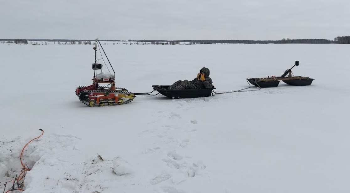
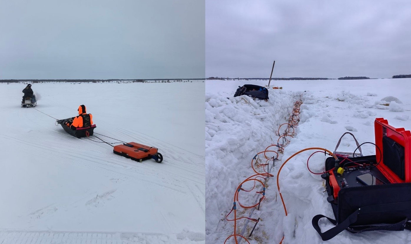
The main objectives of the work were to assess the conditions and determine if it's practical—or productive—to proceed with the measurements on farming land in winter, and to evaluate the effect of snow cover and seasonal freezing of soil on geophysical survey results. Additionally, ground-penetrating radar was used to study the snow cover depth in fields, which is a critical factor for winter crops survival, as well as for soil moisture levels in spring. The geophysical equipment was towed either by a snowmobile or by a self-propelled remote-controlled tracked vehicles.
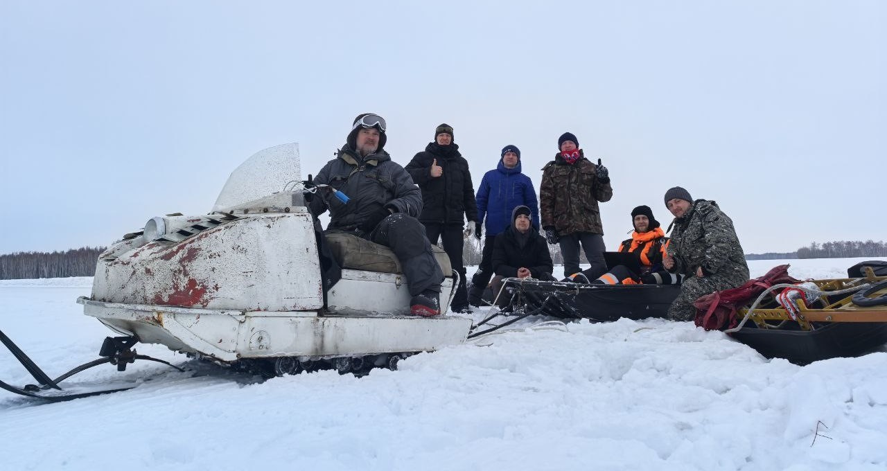
Team of the Geoelectricity Laboratory, IPGG SB RAS
Based on results of the geophysical surveys, apparent resistivity distribution maps were obtained from electromagnetic profiling data, along with snow cover depth determined from GPR data. Comparison of maps generated during summer and winter time showed good agreement, while change in resistivity due to the seasonal freezing of soil has little relation to the soil cover zonation. In one site, the freezing depth was determined from ERT and GPR data.
Thus, the researchers demonstrated the potential use of winter-time geophysical surveys for soil cover zonation and for measuring snow cover depth, which can make agriculture management more effective in Siberia and other areas of risky farming.
Published by IPGG Press Service
Photos courtesy of the researchers involved