
This research was conducted by scientists from the Trofimuk Institute of Petroleum Geology and Geophysics of the Siberian Branch of the Russian Academy of Sciences (IPGG SB RAS), Novosibirsk, and the Institute of Volcanology and Seismology of the Far Eastern Branch of the Russian Academy of Sciences (IVS FEB RAS), Petropavlovsk-Kamchatsky.
Electrical resistivity tomography enabled rapid detection of the boundary of tsunami penetration into the coastal zone of Paramushir island (on the side washed by the Second Kuril Strait) in the absence of surface signs of the event. Scientists were able to accomplish entire survey of a 50-meter coastal profile, along with processing the data, and pinpointing the exact landward limits of the tsunami penetration in under 1.5 hours.
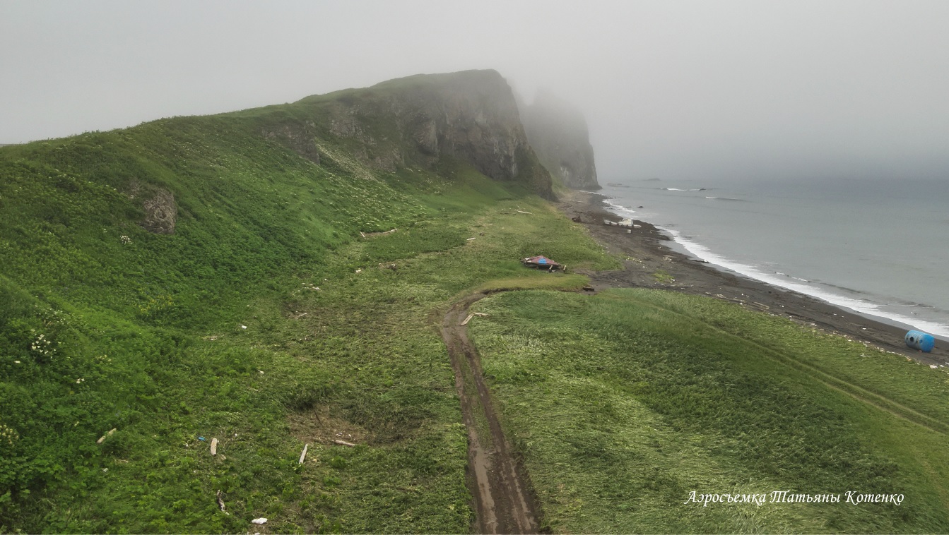
The investigated locality
Why is this research important?
Given that destructive tsunamis hitting a coastal area may have a negative impact on the environment, unambiguous evaluation of how far inland the water actually reached is critical ―the more so that their evidences tend to quickly disappear.– If the wave is relatively low, it hardly leaves any distinct evidence such as topsoil erosion, flattened vegetation, or stranded marine debris (driftwood, plastic, seaweed), ― researchers noted. "Native halophytes (salt-tolerant plants) such as sedge, lyme grass, and Mertensia, easily absorb salt water without showing any signs of stress or dying."
According to scientists, this phenomenon can be observed on some coastal terraces of Paramushir and Shumshu islands. However, conventional data acquisition has been limited in coverage and tend to be unreliable for accurate detection of the boundaries of tsunami inundation.
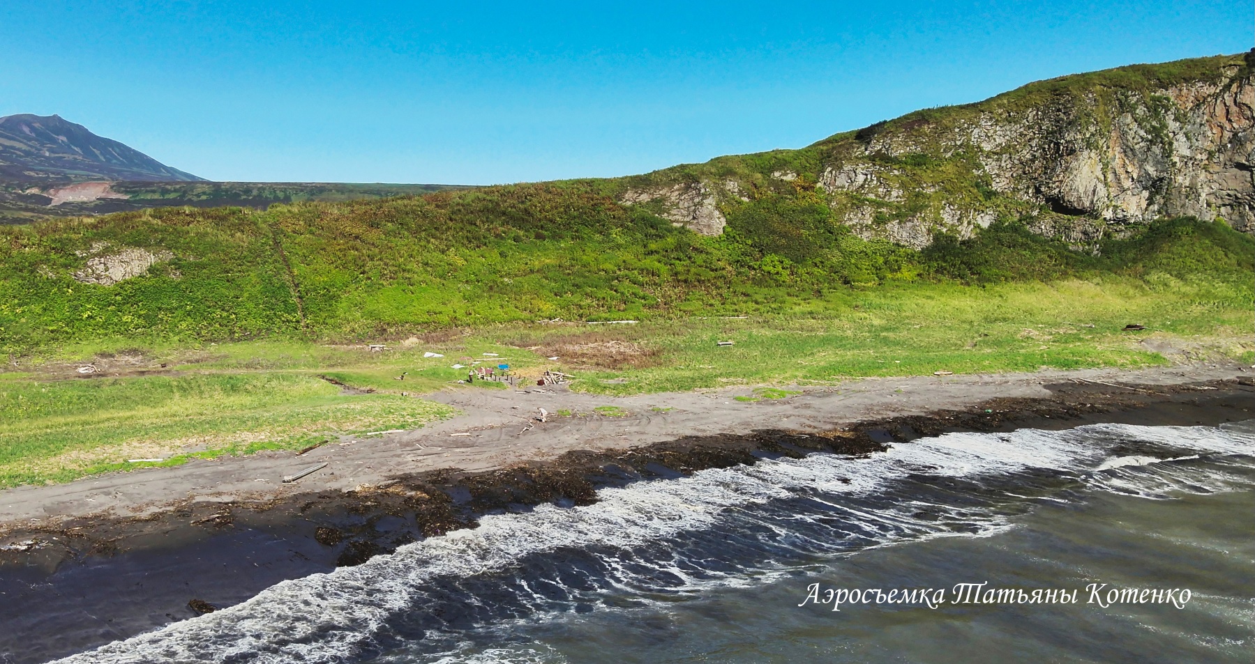
The area of study
How electrical resistivity tomography works in this situation
When tsunami saltwater inundates areas beyond normal high tides, it filters into the ground and forms temporary subsurface lenses of marine water. Because ocean water has a high salt content (33–36 g/L), it significantly increases the soil's ionic conductivity, resulting in an exceptionally low apparent electrical resistivity (AER) compared to the surrounding unaffected ground.
Electrical resistivity tomography that measures the spatial distribution and contrast of electrical resistivity in the subsurface, has proved to be a tool for rapid determination of tsunami run-up distance in the absence of geomorphological signs. The Paramushir case study demonstrated high efficiency of this method.
While conducting post-tsunami field surveys (one month after the occurrence of tsunami) using the "Skala-48" system, a multi-electrode electrical prospecting station, researchers successfully identified a subsurface lense of seawater within the study area.
In the future, they plan to apply the technique in different geographic areas/ settings.
For reference
This investigation was conducted within the frames of state-funded research assignments for the Institute of Volcanology and Seismology (IVS) FEB RUS (project no. FWME-2024-0010) and the Trofimuk Institute of Petroleum Geology and Geophysics (IPGG) SB RAS (project no. FWZZ-2026-0049).
Published by IPGG SB RAS Press Service
Photographs courtesy of T. A. Kotenko (IVS FEB RAS)