
Geophysical methods play an increasingly important role in investigations of the permafrost (areas of soils that perennially remains at or below 0°C), since they allow avoiding drilling when identifying locations of lenses of ice (some permafrost can contain over 30 percent ice in lenses and layers) or taliks (perennially thawed soil) in a permafrost environment, or determining the depth of seasonal thawing of the top part of the permafrost (the maximum seasonal thaw depth is called the active layer) and solve a wide range of fundamental and applied problems of geocryology.
While most is on land, there is also some subsea permafrost beneath offshore Arctic continental shelves. Scientists from the Trofimuk Institute of Petroleum Geology and Geophysics SB RAS are engaged in construction of geoelectric models of zones of subaerial and subaqueous permafrost in Siberia and Central Asia. Specialists of the Geoelectricity Laboratory of IPGG SB RAS, employing methods such as ground-penetrating radar (GPR), electrical resistivity tomography (ERT) for investigation of reference permafrost objects both in onshore and offshore areas.
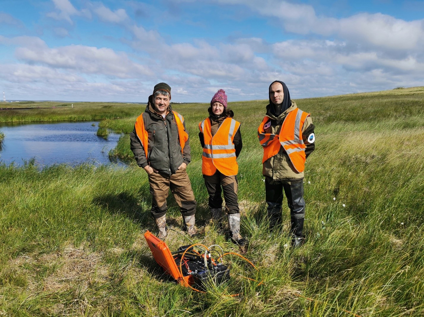
A reference object of established geological nature allows studying distributions of geophysical fields. Reference objects selected by IPGG researchers represent mountain permafrost, tabular ground (massive) ice, groundwater filtration and discharge channels, subaqueous permafrost and thermokarst lake areas, as well as landscape and biological indicators of the geocryological conditions. Scientists have conducted a series of surveys on Yamal, Gydan, Bykovsky peninsulas, in Altai, Transbaikalia and Tien Shan (Kazakhstan), Yakutia and the Magadan region.
IPGG researchers engaged in geophysical studies of thermokarst in vicinity of the railroad bed, Yamal Peninsula
Vladimir Olenchenko, PhD (geol.-mineral), Head of the Geoelectricity Laboratory, IPGG SB RAS accentuated the importance of this type of investigations in studying global climate - and human-induced changes in permafrost.
Over the years of work in permafrost regions, scientists have come to various conclusions. One of the most important results concerns occurrences of massive ground ice which is shown to differ strikingly in geoelectric models for the northern West Siberia (according to ERT data) in the case of the objects of study represented as high resistivity anomalies.
This makes it possible to solve at a qualitatively new level the problems of : delineating the boundaries of massive ground ice extent and its paragenesis with wedge ice; identifying indicators of growth of frost mounds (i.e. ground heaving) which may cause loss of stability of engineering structures, and assessing related risks.
The researchers also arrived at a conclusion that taking into account landscape indicators (including landforms along with observations of plant and animal habitats) will reduce ambiguity of the geocryological interpretation of ER data during identification of taliks and provide for higher quality of permafrost temperature measurements. Thus, plots of localities with groups of anthills in permafrost areas superimposed by low resistivity anomalies reveled by ER surveys indicate occurrences of deep permafrost or taliks in fault zones.
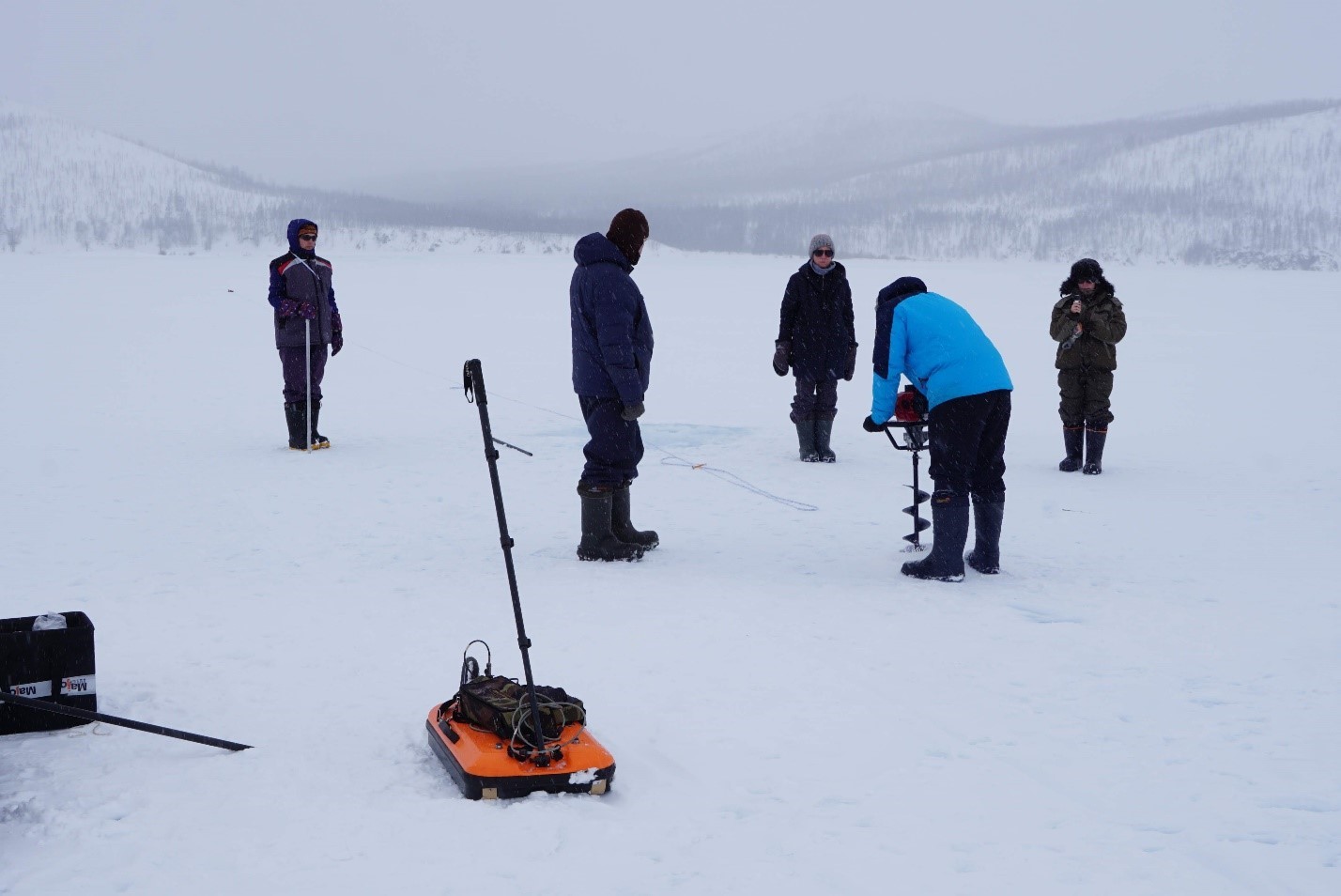
Employees of IPGG SB RAS together with scientists from Melnikov Permafrost Institute SB RAS and St. Petersburg State University during the integrated expedition to study gigantic aufeis fields at the Anmangynda River, Magadan region
“By utilizing modern cutting-edge techniques of measuring electric fields and data inversion, we have developed new geoelectric models of permafrost sections providing higher confidence in geological interpretations which are necessary to solve fundamental problems of geocryology and for geotechnical investigations required before construction works in permafrost regions”, –Vladimir Olenchenko summed up.
Published by IPGG Press Service
Photos from IPGG archive